
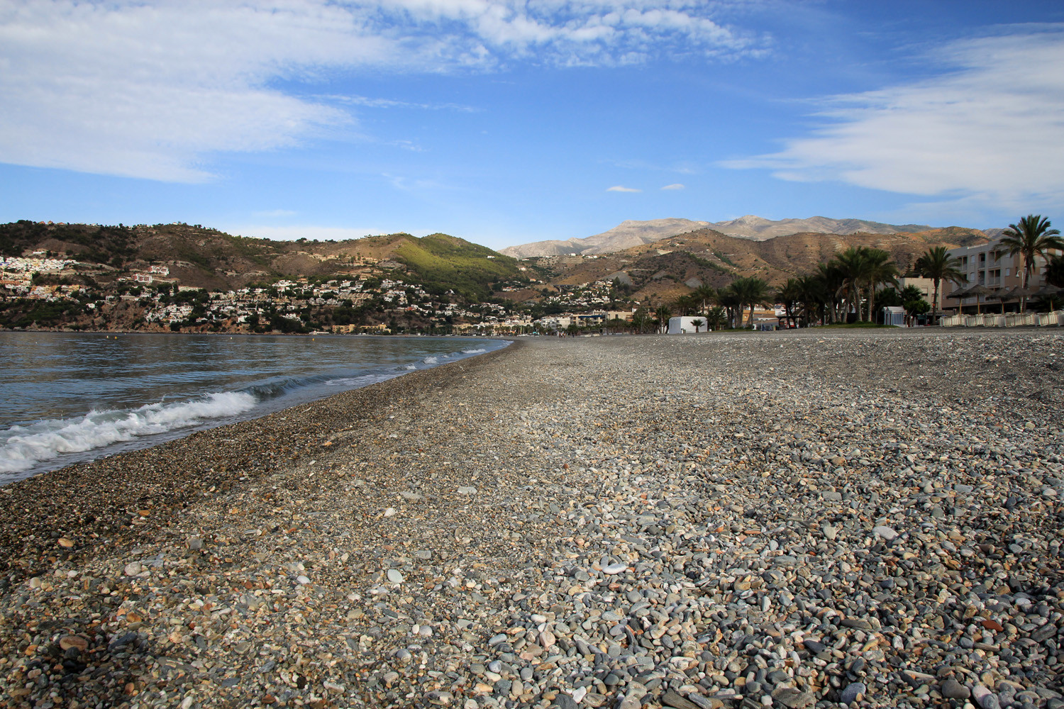
The village is located 10 meters above sea level and has 4248 inhabitants (2012) and belongs to the municipality of Almuñecar.. La Herradura is situated in an excellent natural environment by its beautiful harbor and with its bay flanked by the Punta de la Mona and Cerro Gordo. These rocky outcrops end in beautiful cliffs. The seafloor underneath these cliffs have a divers of colorful seascapes, such as Praderas de Posidonia, coral reefs up to 20 meters deep.
The village has several beautiful beaches. There are many possibilities of nightlife both in La Herradura.

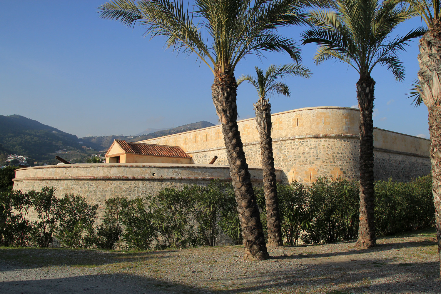
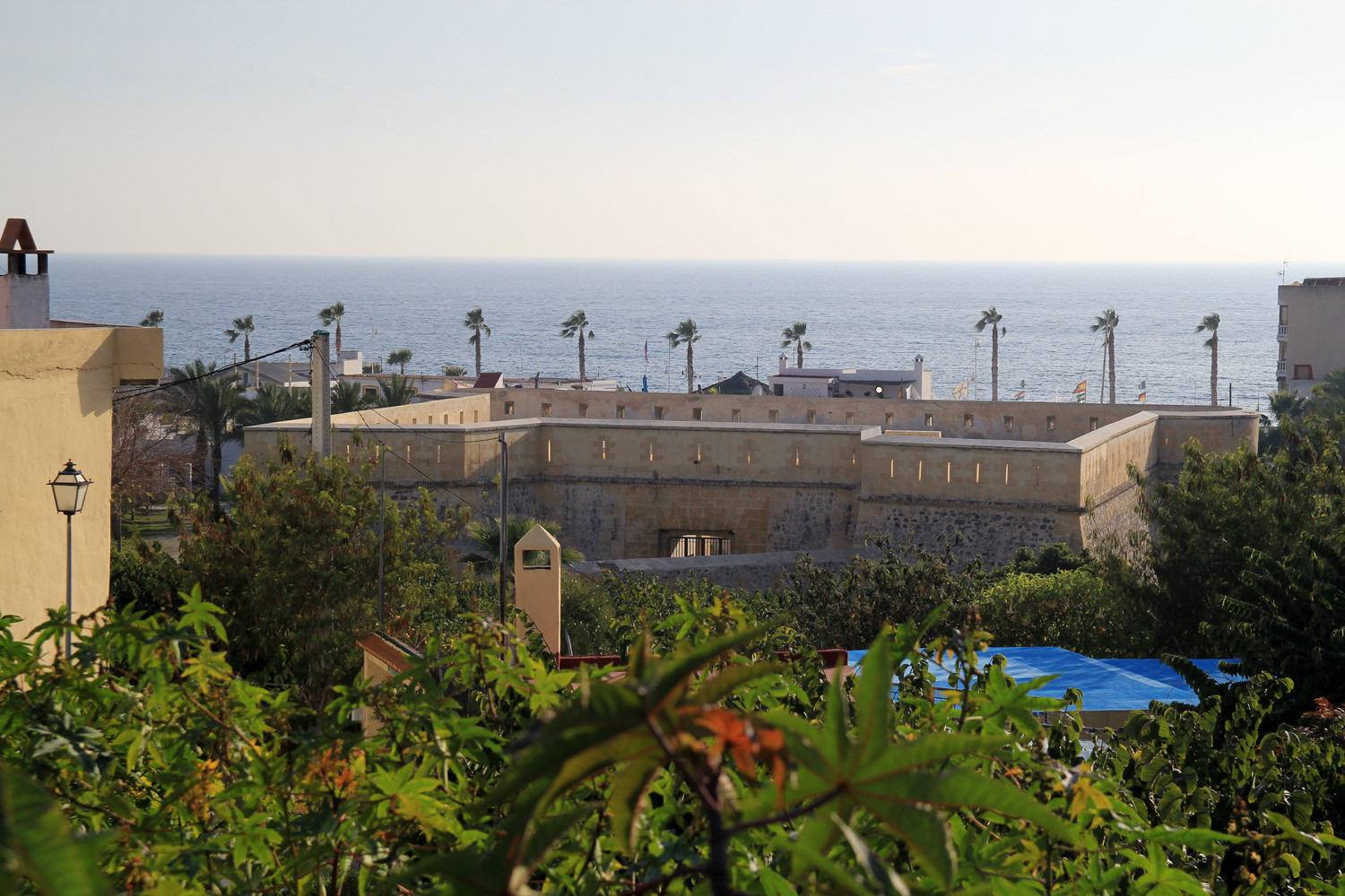
Points of Interest in La Herradura
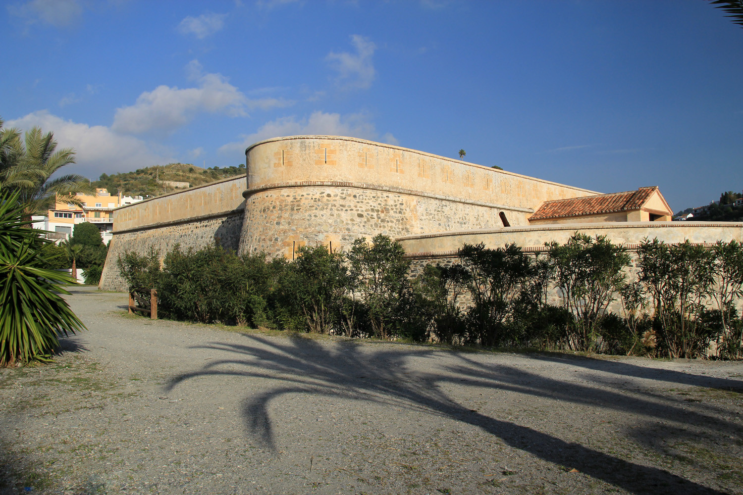
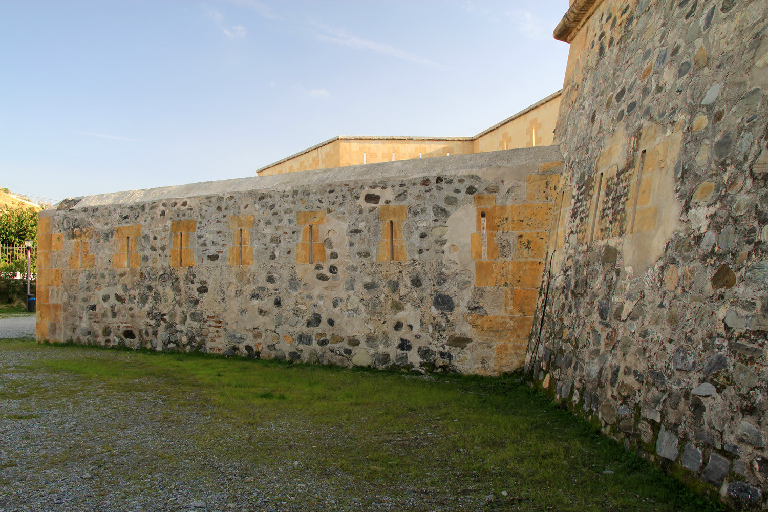
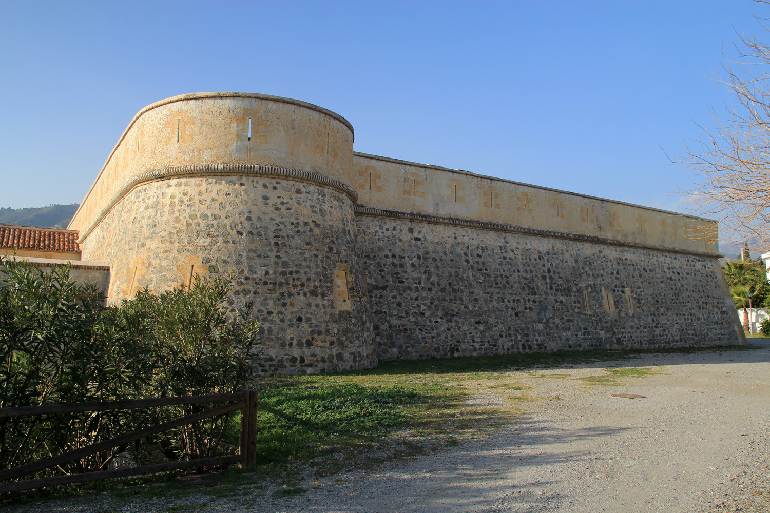
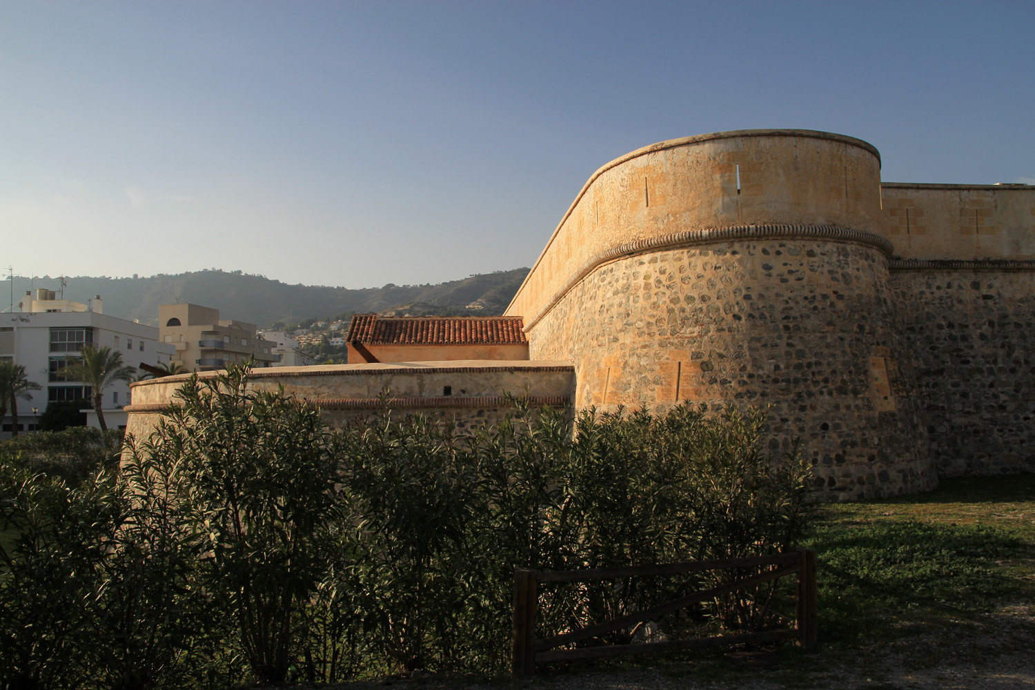
- Fortress: Fortraleza de Herradura;
- Monument in honor of the Men of the Sea;
- Church: Iglesia de San Jose;
- Tower: Torres La Punta de la Mona;
- Natural cave: Cueva Las Palomas
- Beaches.

Festivities in La Herradura
- On the 19th of March the festivities in honor of the patron San Jose are celebrated;
- On the 16th of July are the festivities in honor of "La Virgen del Carmen" celebrated with a procession and fireworks;

The Beaches of La Herradura

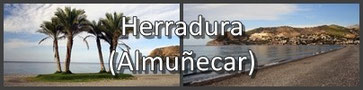
Photo Gallery of La Herradura


Basic Information La Herradura
La Herradura (36°44′06″N
3°44′14″O)
Altitude: 10 meters
Population: 4248 (2012)
Distances:
Distance to Granada: 81 km
Distance to the beach: 0 km
Distance to Airport Malaga: 81 km
Distance to Airport Granada: 95 km
Touristic level: low - medium - high
Authentic level: low - medium - high
Facilities:
- Supermarkets: yes
- Banks: yes
- Restaurants: yes
- Bars: yes