Natural Park Sierra de Castril
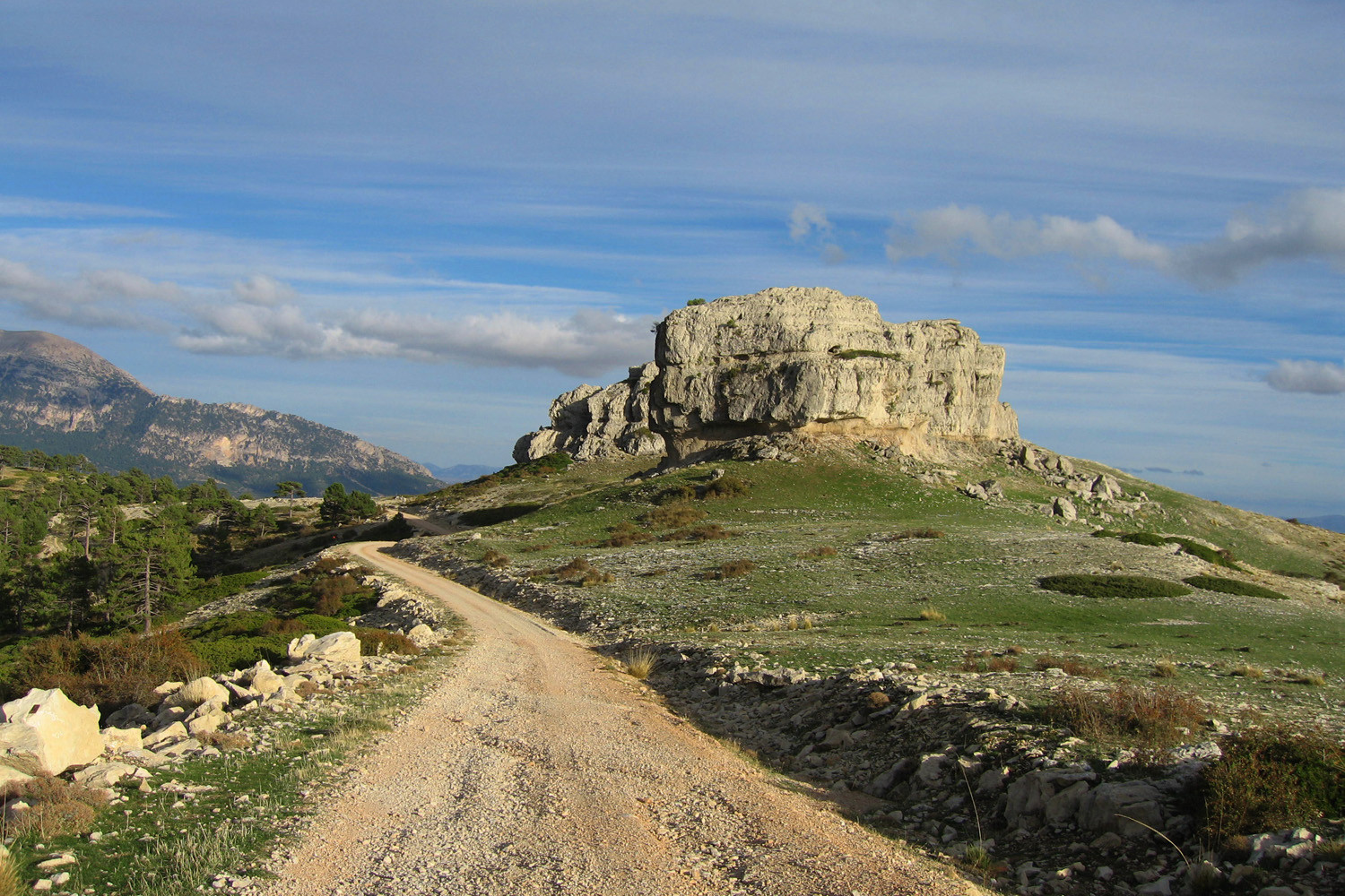
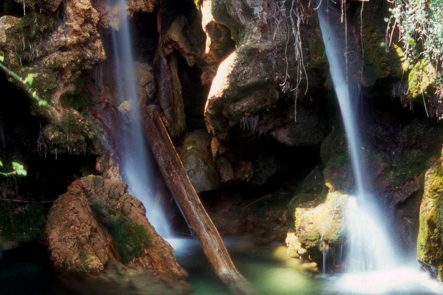
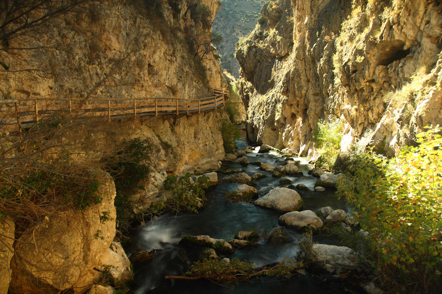
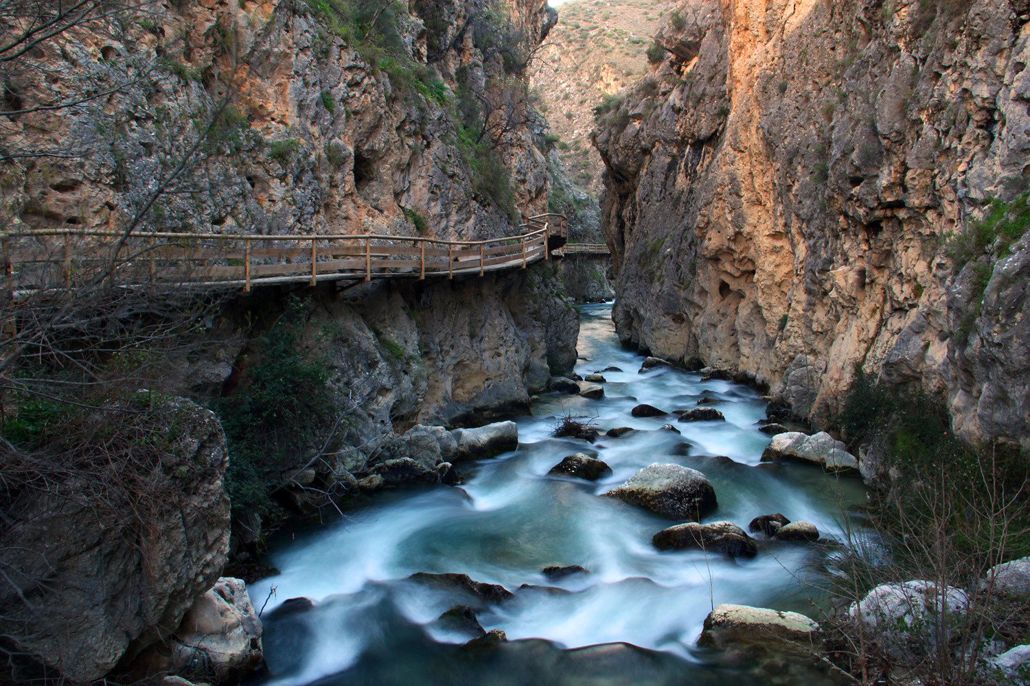
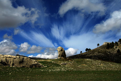
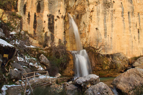
Parque Natural Sierra de Castril is a natural park situated at the north of Castril. It has a superfice of 12.696 ha and mountain peaks over 2000 meter. The Castril river is the heart of the park and is also the cause of the area´s unusal appearance. The water of the river comes at the surface in the park and runs al the way down to lake Portillo. In the park you find a lot of marked walking trails for example to the natural spring of the Castril river or to the natural caves (Don Fernando). Heading on the Cerro del Buitre trail you can see the nests of vultures sticked to the rugged clifs.
Activities: In the park are a lot of activities organized like canoeing, mountain biking, horse riding and canyoning.
Hiking Trails Natural Park Sierra de Castril
Underneath some hiking trails provided by the province of Andalucia (Spanish description and in pdf-format).
Hiking trails by Top`Walks
1. Cerrada de la Magdalena (Castril)
The trail is 3 km long with an altitude difference of 45 m and will take 45 minutes. Download here the trail in GPX/KML file or see the map
2. Nacimiento del Río Castril (Castril)
The trail is 8,5 km long with an altitude difference of 365 m and will take 3h. Download here the trail in GPX/KML file or see the map
3. Barranco de las Canalejas - Hoyos de Moreno (Castril)
The trail is 8,7 km long with an altitude difference of 400 m and will take 2h 42. Download here the trail in GPX/KML file or see the map